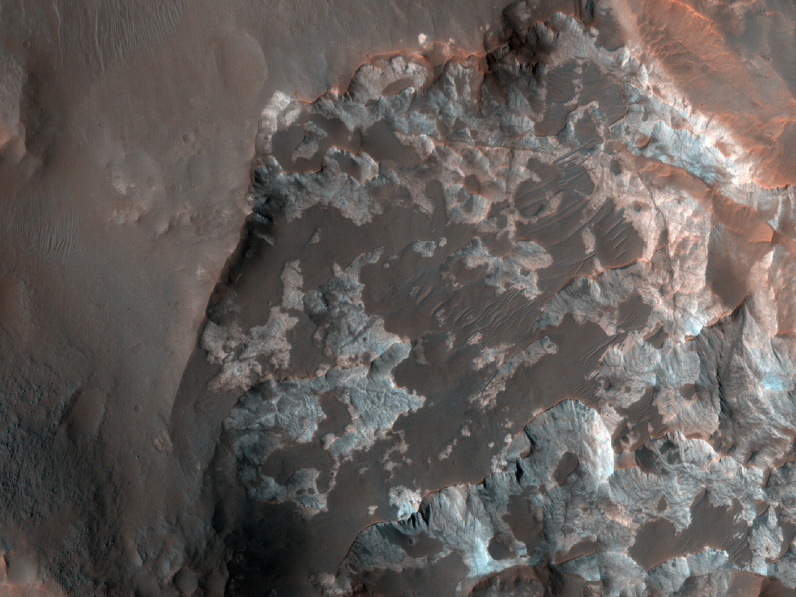
This target was suggested by Jonna Sotelo Douglas in Tucson, Arizona. She wrote: “This image is of the confluence of the Nigral and Uzboi Valles and part of the southern rim of Luki crater. The confluence area is marked with dunes, boulders, and other types of sediment formations. As the elevation lowers from the crater wall, the area smoothes out. There are gullies on both sides of the crater wall.”
Nirgal and Uzboi Valles are two valleys to the north of the Argyre impact basin in the southern hemisphere. At this location, the smaller channel, Nirgal Vallis, empties out into the larger Uzboi Vallis.
Most of the features in this image are covered by the dust that is ubiquitous on Mars, hiding the original fluvial features. However, a small patch of resistant outcrop can be observed on the southern side of the crater rim. These appear as white patches that are draped by the darker
wind-blown rippled sand. Even the resistant outcrop has been modified by wind, giving it a pockmarked or scalloped texture.
Layering is visible in the resistant outcrops and
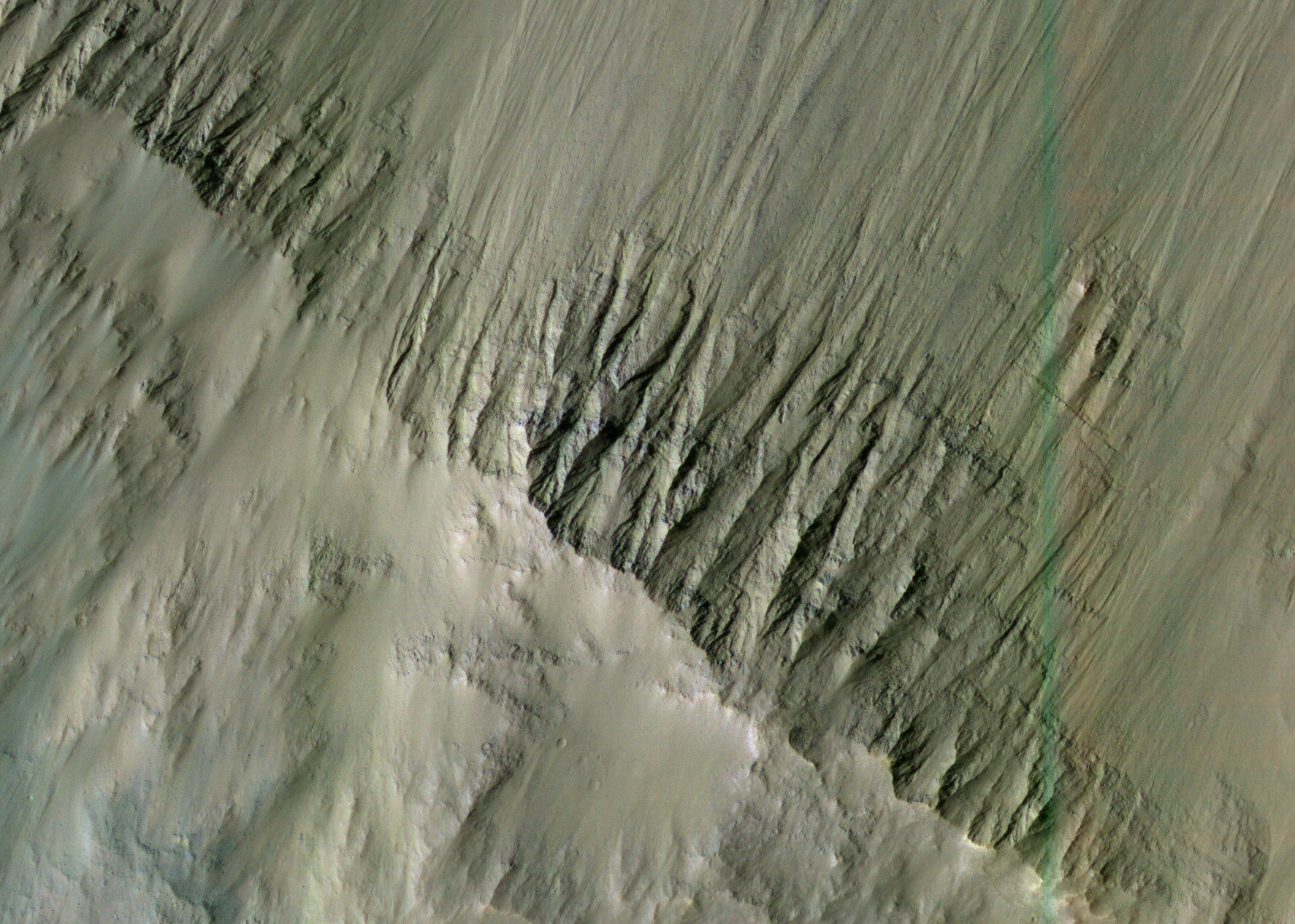
in the gullied inner wall of the crater. These layers may have been fluvial, volcanic, or aeolian (wind-blown). Given their presence within the valley floor, these may represent some of the sedimentary layers deposited by water when it flowed through the valley.
ID:
PSP_003565_1495date: 1 May 2007
altitude: 256 km
https://uahirise.org/hipod/PSP_003565_1495
NASA/JPL-Caltech/University of Arizona
#Mars #science #NASA