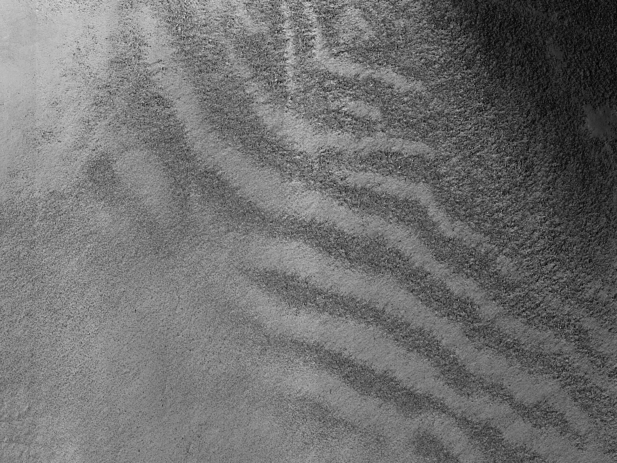
Lower resolution imaging has been extremely useful in selecting targets, but occasionally is off the mark. HiRISE takes some of its images from a global list of sand dunes that was based on some of these lower resolution data.
In this picture, we discover that the dark bands thought to be sand dunes are instead
bands of surface boulders. The bouldery area looks dark at lower resolution because these rocks cast small shadows. We think the bouldery bands are caused by the removal of finer-grained material. Why is fine material removed in bands? That’s harder to explain, but might be related to the topography just off the edge of the image setting up atmospheric turbulence with a specific length scale.
ID:
ESP_082871_1240date: 31 March 2024
altitude: 249 km
https://uahirise.org/hipod/ESP_082871_1240
NASA/JPL-Caltech/University of Arizona
#Mars #science #NASA

