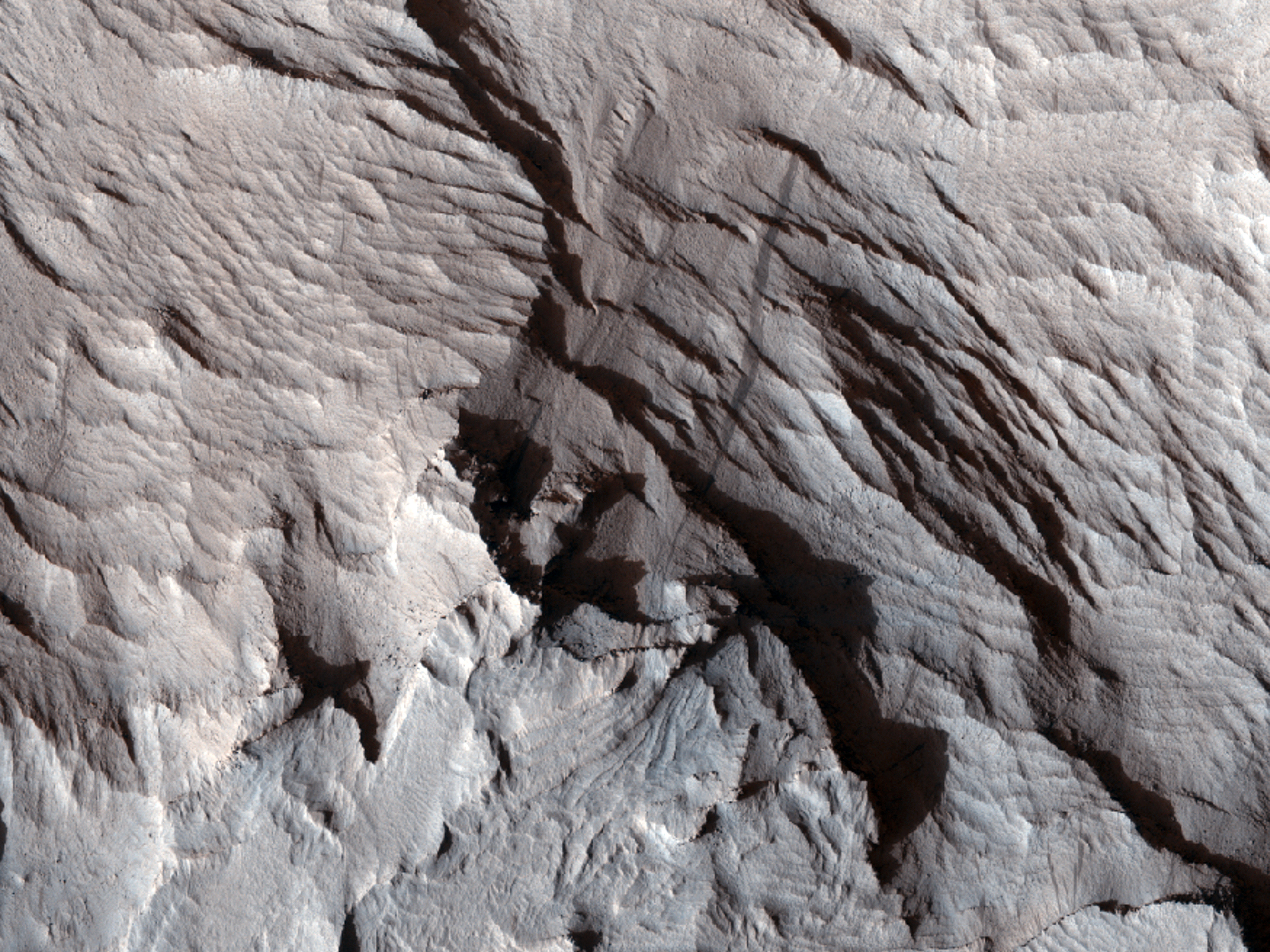
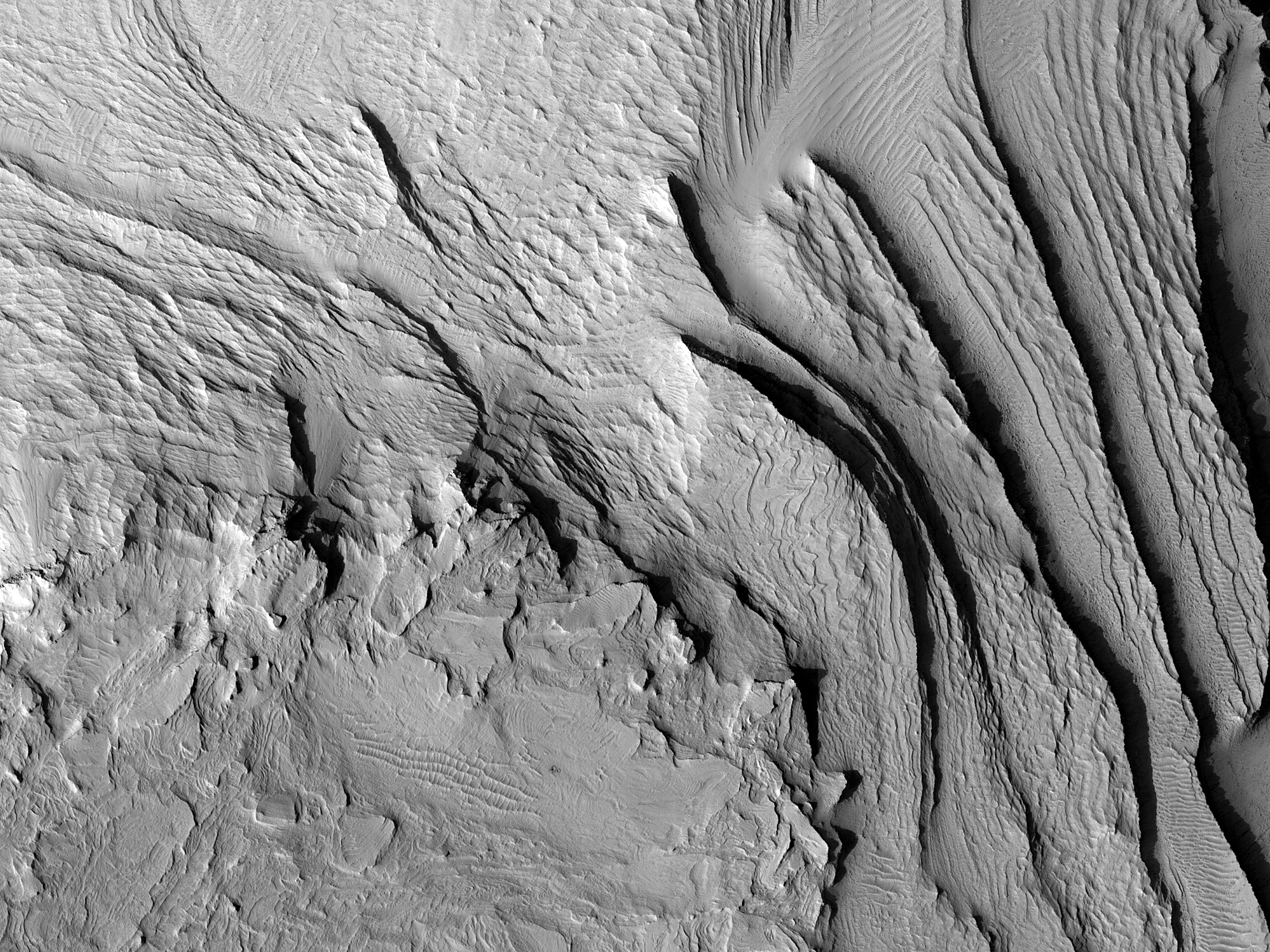
This image can help test a hypothesis: did sulfate layers once fill the canyons of Valles Marineris and did those sulfate deposits grow as domes? Our image can be used to create a digital terrain model where the layers are well-exposed over a wide range of elevations and whose orientations can also be measured.
ID:
ESP_065898_1720date: 17 August 2020
altitude: 264 km
https://uahirise.org/hipod/ESP_065898_1720
NASA/JPL-Caltech/University of Arizona
#Mars #science #NASA

