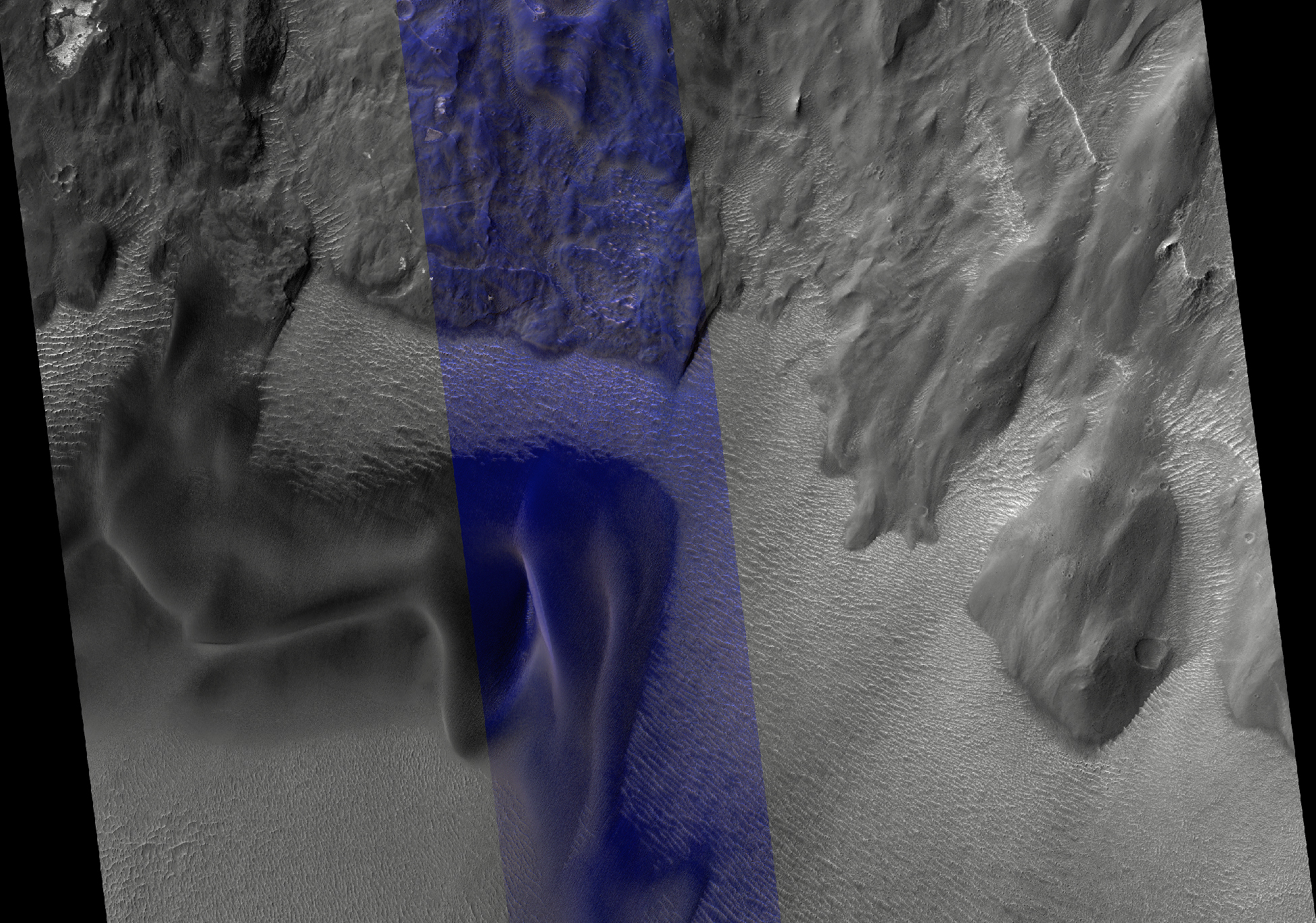
Landslides in Valles Marineris are truly enormous, sometimes stretching from one wall to the base of another. This 45-kilometer-long HiRISE image alone drops nearly two kilometers in elevation into Ius Chasma. This landslide, known as Ius Labes, would occupy the surface area of Delaware.
Here, we can see dark-toned material emanating from the landslide scarp and forming dunes and dark streaks that were carried downslope by the wind. Geologic context and compositional information from CRISM suggest this dune field was locally derived from landslide material.
Other locations in this image show smaller ripples and smooth, rounded textures of the landslide, both attesting to long-lived wind transport and erosion.
This site records a long and complex geologic history of landscape evolution. This history likely includes: (1) ancient lava flows and ash fall deposits which were deposited horizontally and would eventually make what now is canyon wall material; (2) extensional forces rifted or faulted Valles Marineris; (3) mass wasting ensued where gravity forced weak and dislodged rock down into the canyon as massive landslides or smaller fans of boulders; (4) wind driven aeolian (wind) forces took small sand-sized particles to form dunes and ripples observable in this image, while also slowly eroding the landscape and modifying its shape.
ID:
ESP_026444_1720date: 18 March 2012
altitude: 265 km
https://uahirise.org/hipod/ESP_026444_1720
NASA/JPL-Caltech/University of Arizona
#Mars #science #NASA
