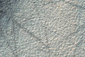
 Terrain Sample (ESP_085469_1120) Lat: -68° Long: 295.8° |  Dune with Seasonally Persistent Light-Toned Features (ESP_085525_1120) Lat: -67.9° Long: 207.7° | 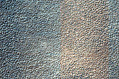 Location of Possible Shallow Ice Table (ESP_085584_1120) Lat: -67.6° Long: 36.8° |  Dune with Light-Toned Features in THEMIS V23370009 (ESP_085736_1120) Lat: -67.9° Long: 207.7° |
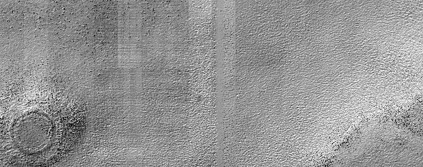 Candidate Recent Impact Site (ESP_086200_1120) Lat: -67.5° Long: 138° | 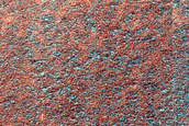 Candidate Recent Impact Site (ESP_090380_1120) Lat: -67.5° Long: 138° | 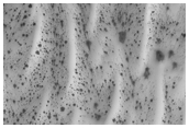 Look For More High Latitude Dune Gullies (PSP_002924_1120) Lat: -68° Long: 191.6° | 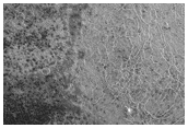 Mountains of Mitchell Ridge Site (PSP_004064_1120) Lat: -67.7° Long: 28.7° |
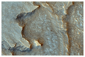 Low-Order Inverted Streams near Juventae Chasma (PSP_005346_1755) Lat: -4.3° Long: 296.4° | 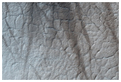 Southern High-Latitude Terrain (PSP_005725_1120) Lat: -67.7° Long: 40.4° | 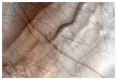 Sand Dunes (PSP_005826_1120) Lat: -67.9° Long: 162.9° | 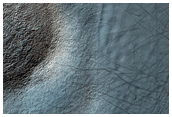 Sources of Basaltic Sand (PSP_006528_1120) Lat: -67.7° Long: 76.2° |
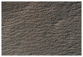 Sand Dunes (PSP_006535_1120) Lat: -67.3° Long: 244.9° | |||
Page 6 of 6 pages (133 images) | |||