Aeolian Theme Description
Lead: Matt Chojnacki •
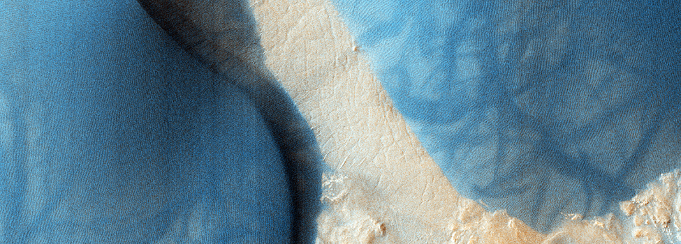
Images in this theme
Aeolian geology is the study of landforms formed by wind (Aeolus is the wind god in Greek mythology). On Mars, where other
processes such as fluvial erosion, volcanism, and tectonism are slow, intermittent, or do not occur in the present era, aeolian activity
is the most dynamic geologic process in non-polar areas. Numerous depositional and erosional landforms attributable to wind activity are present.
On a large scale seen from previous orbiters these include dunes, ripples, yardangs, wind tails, and dust devil tracks. At
the small scale seen from landers and rovers, drifts, erosional moats, wind tails, ripples, and ventifacts are found. HiRISE,
with its high resolution, color imaging, and ability to produce precise digital elevation models at small scales, should significantly
advance our understanding of Martian aeolian processes, providing a link between features seen with older, lower resolution imaging
systems and those observed at the landing site scale.
Major science questions for this theme
- Do aeolian bedforms (dunes and ripples) migrate at the scales visible to HiRISE
(< 1 m) over the period of the MRO mission (at least two Mars years)? In other words, are some dunes and
ripples active or did they form in a different climate, when wind speeds may have been greater? If the bedforms are active,
what is the rate of migration?
- What are the origins and ages of bright vs. dark aeolian bedforms?
- How rapidly does aeolian material infill topography and how does this vary over the planet?
- What are the mechanisms and rates of removal of material by the wind and how does this vary with terrain age, lithology, and geology?
Relationship to other science themes
By their very nature, aeolian processes modify pre-existing surfaces, either through the redistribution and deposition of fines or
the deflation or abrasion of material. In this sense, the aeolian theme crosses over all the other themes, leaving its imprint on
all classes of Martian geology. Probably the greatest overlap is with the seasonal processes, climate change, and landscape evolution themes.
Seasonal processes outside of the polar caps are predominantly aeolian, with global dust storms, dust devils, and wind streaks occurring
on annual and smaller time scales. The wind speeds and sand loading that is possible in the present-day Martian climate seems
insufficient to produce many of the observed aeolian landforms, such as dunes, megaripples, and yardangs, implying that past
climatic regimes, when wind speeds may have been higher, are required. These aeolian processes integrated over time scales of many
seasons and multiple climatic changes (probably driven by quasi-periodic variations in Mars orbital elements) have significantly contributed
to landscape evolution through infilling of topographic lows, removal of topographic highs, and redistribution of material.
Features of interest potentially visible at HiRISE scale
The high resolution of HiRISE provides the ability to image and derive topography of features at meter and smaller scales, thereby
helping to answer questions that could previously not be pursued with much confidence. We will be able to measure the height and spacing
of dunes and ripples and monitor if the bedforms are moved by winds over the life of the MRO mission. Images of landslides on the
brinks of dunes will provide information on the stability and lithification (via chemical cementation or ice) of sand. For yardangs,
detailed morphometry from high resolution images and stereo DEMs may reveal notches, forms that on Earth are attributable to the height
of peak abrasion by saltating sand. Fluting in mantled material seen at small scales should reveal the direction of winds that caused
removal. Layering in yardang/mantled material seen by HiRISE will provide evidence on whether the material is of lacustrine
(fine layers), volcanic (more massive), or some other origin.